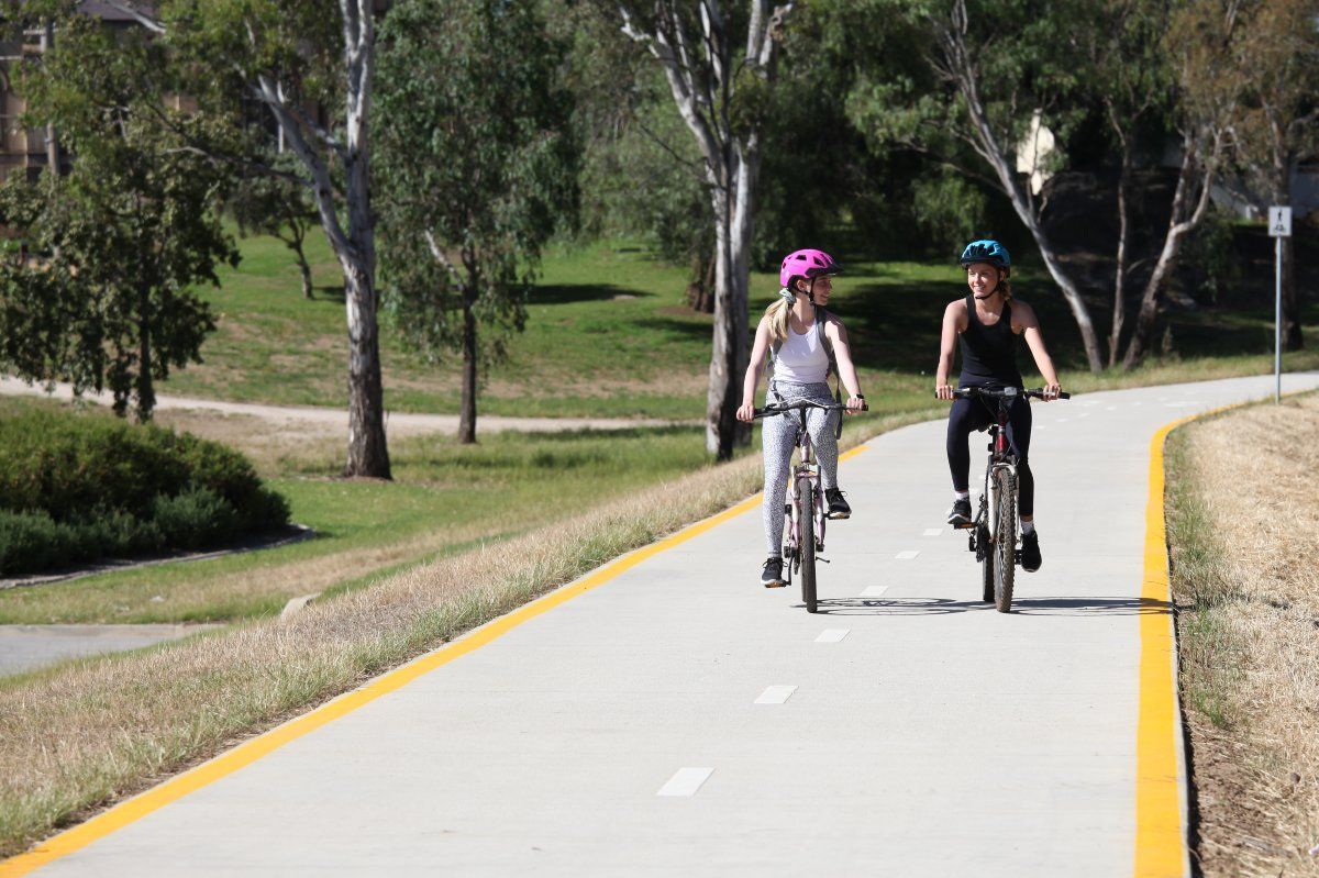
There are many walking tracks and cycle ways located within Wagga Wagga that provide enjoyable fitness opportunities for residents and visitors.
Whether its a stroll around picturesque Lake Albert, or a 42km loop around the city on the Wiradjuri Walking Track, there is a trail or track for everyone.
Wagga Wagga’s Cycling Network – Part of the Active Travel Plan
We're transforming the way our community moves, with the development of a safer, more connected cycling network as part of Council’s Active Travel Plan. This growing network of dedicated cycle paths and shared user trails is designed to make it easier and safer for residents and visitors to get around by bike - whether for commuting, exercise or leisure.

Once fully completed, the cycling network will span more than 56 kilometres across the city, linking key destinations including the CBD, university, schools, parks and major recreational areas. The aim is to encourage more people to choose active transport options, reduce traffic congestion, and promote a healthier, more sustainable lifestyle.
Several sections of the network are already open for use, while others are under construction or in planning stages.
To learn more about the network and stay informed about current and upcoming works, visit the project page on our Have Your Say website: haveyoursay.wagga.nsw.gov.au/active-travel-plan
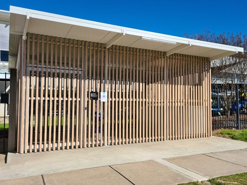
End of Trip Facilities

The cycling network end of trip facilities make it easier for you to choose cycling as your main method of transport, promoting a healthier, more active community, and to help reduce our reliance on fossil-fuelled transportation.
Wagga Wagga and Surrounds Trail Map
Developed by the Wagga Wagga Visitor Economy team, this handy map highlights some of Wagga Wagga's best cycling and walking routes, along with interesting things to see along the way - from beautiful picnic locations, show-stopping art and stunning landscapes.
You can view and download the Trail Map below (click the download arrow in the top left corner), or, visit the Wagga Wagga and Surrounds Trail Map page on the Visit Wagga website to view interactive versions of the maps and find out more information.
You can also pick up a physical copy of this pocket guide at the Wagga Wagga Visitor Information Centre located on Tarcutta Street or find one in one of many local businesses around our city.
